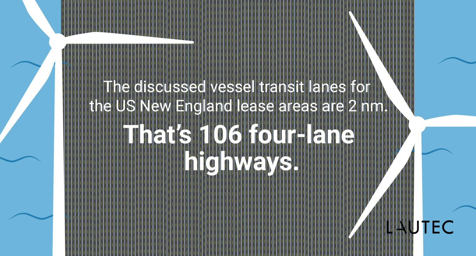
Picture yourself driving down a four-lane highway. Now, look outside the window and imagine a road that is 106-times wider.
This is comparable to the proposed 2-nautical mile (nm) transit lanes crossing the Massachusetts/Rhode Island wind energy area. Even though we don’t support placing wind turbines on highways, we thought superimposing a 2-nm transit lane on top of highways could help visualize the scale of the situation.
Note: A four-lane highway is approx. 35 meters wide, including four lanes of traffic – median and shoulder. The lanes displayed on the map are for demonstration purposes only.
Contact Us
For more information about our GIS services and offshore wind activities in the United States, send a message to our US Partner, Ian Spooner.